Madrid Río
8.7Locals Score / 10#2 of 10 Parks & Outdoors in Madrid
free
Known forparkriversidecyclingrunning
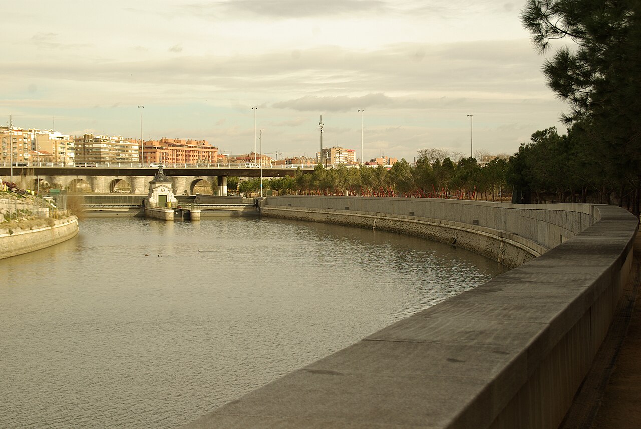
A 10-kilometre riverside park created when Madrid buried its ring road underground — now the city's favourite place to cycle, run, and picnic, threading past the Manzanares river, playgrounds, and the historic Puente de Toledo to Matadero's arts centre. Free, always open, and almost entirely tourist-free. A friend sends you here to see how madrileños actually spend a Sunday.
Key facts
| Hours | Hours not verified |
|---|---|
| Price | free |
| Phone | — |
| Website | — |
| Nearest transit | Metro Príncipe Pío (L6, L10, R), Pirámides (L5), or Legazpi (L3, L6) depending on the stretch |
| Time needed | 2-3 hours walking a section; half a day with Matadero and Casa de Campo |
| Best time to go | Sunday mornings for peak local life; summer evenings when the heat breaks and families come out |
| Last verified | July 12, 2026 |
Locals Score
8.7/10- Value9.0
- Iconic7.0
- Freshness5.9
- Crowd level7.5
- Authenticity9.0
- Accessibility8.5
Frequently asked questions
- Can you rent bikes for Madrid Río?
- Yes — the city's BiciMAD electric share bikes have docks near the park, and rental shops around Príncipe Pío do day hires. The park's paths are flat, separated from traffic, and genuinely pleasant riding; it's the single best way to cover it.
- Are there places to eat along Madrid Río?
- Scattered kiosks and terrazas along the park, a proper food scene in the Matadero plaza, and the Mercado de la Cebada and La Latina a short climb east. Locals mostly picnic — buying supplies and eating on the lawns near the Puente de Toledo is the authentic move.
- Is Madrid Río worth visiting as a tourist?
- Yes, precisely because tourists skip it — it's where the city actually lives on weekends. Don't try to see all 10 km; pick the stretch between Puente de Segovia and Matadero, which has the best bridges, playgrounds, and views back to the Palace.
- Is Madrid Río safe at night?
- The main promenades are lit and used by runners into the late evening, and it's generally fine. Like any large park, the quieter, unlit stretches are best avoided alone after midnight — stick to the paths near the bridges.
- What is the Matadero at the end of Madrid Río?
- A former slaughterhouse complex turned into one of Europe's best contemporary arts centres — exhibitions, design markets, cinema, and a good plaza with cafés. Entry to most of it is free, and it anchors the southern end of the park perfectly.
- What's the best section of Madrid Río?
- From the Puente de Segovia south past the Arganzuela footbridge (the shiny spiral one by Dominique Perrault) to the baroque Puente de Toledo, ending at Matadero. That stretch packs in the architecture, the fountains kids play in, and the best skyline views.
- How do I get to Madrid Río?
- For the north end, metro to Príncipe Pío; for the middle, Pirámides; for Matadero, Legazpi. All are 2-5 minutes' walk from the river. From the Royal Palace you can simply walk downhill in about 15 minutes.
- What is Madrid Río?
- A linear park along the Manzanares river created in the 2000s when the M-30 motorway was buried in tunnels beneath it. It runs roughly 10 km through the city's southwest, connecting the Royal Palace area to the Matadero cultural centre and beyond.
Nearby in Ask Madrid
- El LandóRestaurant1.37 km · 17 min walk
- El Rastro Flea MarketMarket1.45 km · 18 min walk
- La LatinaNeighborhood1.54 km · 19 min walk
- Taberna El TempranilloBar1.55 km · 19 min walk
- Casa RevueltaBar1.77 km · 22 min walk
Where to stay near Madrid Río
Compare hotels & stays on Booking.com · doesn’t affect the Locals Score